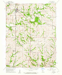
1961 Map of Gower
USGS Topo · Published 1962About this map
Gower sits at the junction of Buchanan and Clinton Counties, serving as a primary hub in this agricultural landscape. The 1961 revision shows a countryside defined by deep stream incisions and established family-named landmarks. The drainage network, featuring Castile Creek and the Little Platte River, dictates the placement of early infrastructure and settlements like Grayson and Westbridge.
Find a feature on this map
31 named features on this map. Tap any name to fly to it.
Don’t see what you’re looking for? This feature index may not catch every label — zoom into the map to look around manually.
Map Details
Editions of this 1961 Gower Map
2 editions found
Other maps of this area

1890 · Kansas City
USGS Topo · 1:125,000

1894 · Kansas City
USGS Topo · 1:125,000

1894 · Independence
USGS Topo · 1:125,000

1914 · Smithville
USGS Topo · 1:62,500

1925 · Gower
USGS Topo · 1:62,500

1925 · Plattsburg
USGS Topo · 1:62,500

1936 · Kearney
USGS Topo · 1:48,000

1942 · Kearney
USGS Topo · 1:62,500

1945 · Kearney
USGS Topo · 1:62,500

1950 · Kansas City
USGS Topo · 1:250,000