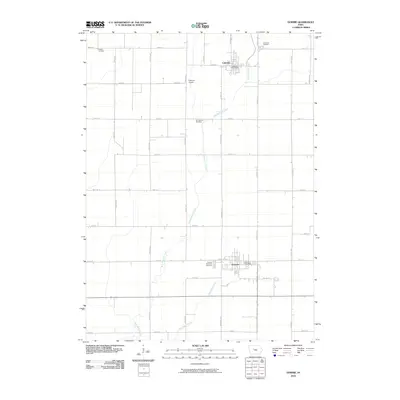
2010 Map of Gowrie
USGS Topo · Published 2010About this map
Gowrie and Callender serve as the primary hubs of this Webster County landscape, where the flat agricultural terrain is defined by a rigorous grid of section-line roads. The drainage of West Buttrick Creek and Tank Pond Creek meanders through the farmland, providing the only break in the rectilinear pattern of the Iowa countryside. Cultural landmarks of particular interest to genealogists include four distinct burial grounds: the Danish Cemetery in the northwest, Callender Cemetery and Our Saviour Cemetery in the north-central region, and the Gowrie Township Cemetery located just west of the town center. The presence of Peterson Airport between the two main settlements and the central Gowrie Post Office indicates the continued role of these small towns as vital regional service centers in the early 21st century.
Find a feature on this map
30 named features on this map. Tap any name to fly to it.
Don’t see what you’re looking for? This feature index may not catch every label — zoom into the map to look around manually.
Map Details
Editions of this 2010 Gowrie Map
This is the sole edition of this map. No revisions or reprints were ever made.
Other maps of this area

1923 · Lehigh
USGS Topo · 1:62,500

1951 · Ogden
USGS Topo · 1:62,500

1954 · Fort Dodge
USGS Topo · 1:250,000

1957 · Fort Dodge
USGS Topo · 1:250,000

1958 · Fort Dodge
USGS Topo · 1:250,000

1962 · Jefferson
USGS Topo · 1:62,500

1965 · Moorland
USGS Topo · 1:24,000

1965 · Farnhamville
USGS Topo · 1:24,000

1965 · Fort Dodge South
USGS Topo · 1:24,000

1965 · Knierim
USGS Topo · 1:24,000