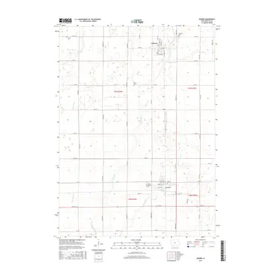
2015 Map of Gowrie
USGS Topo · Published 2015About this map
Gowrie and Callender anchor this portion of Webster County, illustrating a landscape defined by highly structured township grids and specialized agricultural drainage. The terrain is crisscrossed by several artificial waterways, including Ditch Number 12 and Ditch Number 52, which supplement the natural flow of W Buttrick Cr and Tank Pond Cr. These features reflect the long-standing efforts to manage the prairie hydrology for intensive cultivation.
Find a feature on this map
50 named features on this map. Tap any name to fly to it.
Don’t see what you’re looking for? This feature index may not catch every label — zoom into the map to look around manually.
Map Details
Editions of this 2015 Gowrie Map
This is the sole edition of this map. No revisions or reprints were ever made.
Other maps of this area
1923 · Lehigh
USGS Topo · 1:62,500
1951 · Ogden
USGS Topo · 1:62,500

1954 · Fort Dodge
USGS Topo · 1:250,000
1957 · Fort Dodge
USGS Topo · 1:250,000
1958 · Fort Dodge
USGS Topo · 1:250,000
1962 · Jefferson
USGS Topo · 1:62,500
1965 · Moorland
USGS Topo · 1:24,000
1965 · Farnhamville
USGS Topo · 1:24,000
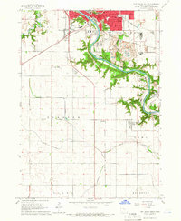
1965 · Fort Dodge South
USGS Topo · 1:24,000
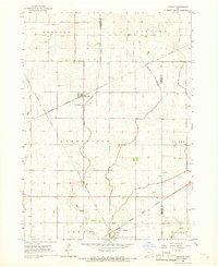
1965 · Knierim
USGS Topo · 1:24,000