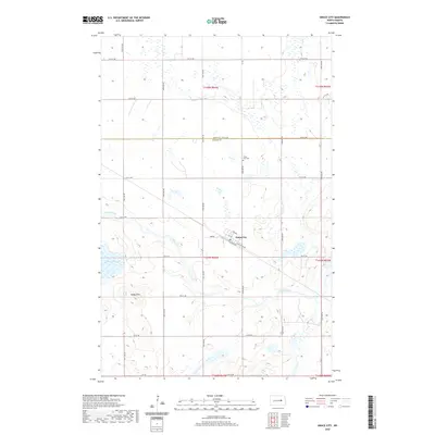
2020 Map of Grace City
USGS Topo · Published 2020About this map
Grace City serves as the central hub of this Foster County landscape, situated along a prominent bend of the James River. The town's grid is anchored by transportation corridors such as S Railroad Ave and N Railroad Ave, reflecting the historic rail-oriented development common throughout the North Dakota plains. North of the settlement, the Grace City Cem sits near the border of Eddy and Foster Counties, marking a point of genealogical interest for the area's residents.
Find a feature on this map
27 named features on this map. Tap any name to fly to it.
Don’t see what you’re looking for? This feature index may not catch every label — zoom into the map to look around manually.
Map Details
Editions of this 2020 Grace City Map
This is the sole edition of this map. No revisions or reprints were ever made.
Other maps of this area

1900 · Pingree
USGS Topo · 1:125,000

1944 · Brantford
USGS Topo · 1:62,500

1946 · Brantford
USGS Topo · 1:62,500

1949 · Grace City
USGS Topo · 1:24,000

1950 · Brantford NW
USGS Topo · 1:24,000

1950 · Grace City
USGS Topo · 1:24,000

1950 · Brantford
USGS Topo · 1:24,000

1950 · Brantford NE
USGS Topo · 1:24,000

1951 · Bordulac NE
USGS Topo · 1:24,000

1951 · Kensal NW
USGS Topo · 1:24,000