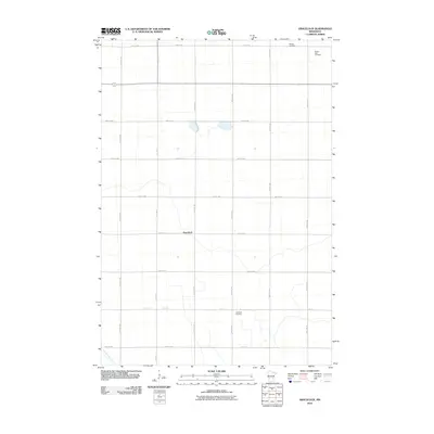
2010 Map of Gracelock
USGS Topo · Published 2010About this map
Gracelock sits at the heart of this Chippewa County landscape, a community defined by its rigid grid of agricultural roads and section lines. The settlement pattern here reflects the long-standing farmstead tradition of the region, where roads like 20th St NE and 1st Ave N provide the primary connective tissue between isolated rural residences. Water features are relatively sparse in this prairie-dominated area, with Dry Weather Creek winding through the southwest, its seasonal nature typical of the local drainage systems. The map is particularly useful for genealogists, as it documents several distinct burial grounds that serve the surrounding townships. These include Hillside Cemetery in the northeast, Buffalo Lake Cemetery near the northern boundary, and Havelock Cemetery to the south. Together, these sites and the meticulous road indexing provide a clear picture of land division and community structure at the beginning of the twenty-first century.
Find a feature on this map
30 named features on this map. Tap any name to fly to it.
Don’t see what you’re looking for? This feature index may not catch every label — zoom into the map to look around manually.
Map Details
Editions of this 2010 Gracelock Map
This is the sole edition of this map. No revisions or reprints were ever made.
Other maps of this area

1953 · New Ulm
USGS Topo · 1:250,000

1953 · Saint Cloud
USGS Topo · 1:250,000

1957 · Saint Cloud
USGS Topo · 1:250,000

1957 · New Ulm
USGS Topo · 1:250,000

1958 · New Ulm
USGS Topo · 1:250,000

1958 · Saint Cloud
USGS Topo · 1:250,000

1958 · Murdock
USGS Topo · 1:24,000

1958 · Gracelock NE
USGS Topo · 1:24,000

1958 · Kerkhoven SW
USGS Topo · 1:24,000

1958 · Gracelock NW
USGS Topo · 1:24,000