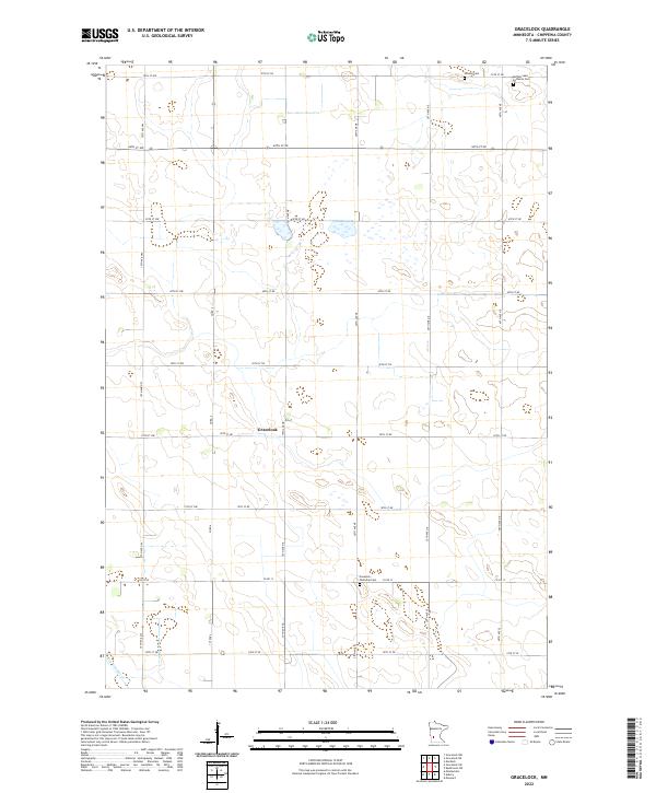
2022 Map of Gracelock
USGS Topo · Published 2022About this map
Gracelock occupies the center of this agricultural landscape in Chippewa County, where a rigid grid of township roads organizes the prairie. The map reveals the meticulously planned land use of the region, defined by intersections like 10th Ave NW and 20th St NE. Evidence of the area's early community life is found at the Buffalo Lake Lutheran Cem and Hillside Cem in the northeast, as well as the Havelock Township Cem to the south. Water is a subtle but vital presence here, with the meandering path of Dry Weather Cr cutting across the southwestern corner. This survey documents the modern state of these rural townships, where the original Public Land Survey System boundaries remain the primary framework for transportation and settlement.
Find a feature on this map
39 named features on this map. Tap any name to fly to it.
Don’t see what you’re looking for? This feature index may not catch every label — zoom into the map to look around manually.
Map Details
Editions of this 2022 Gracelock Map
This is the sole edition of this map. No revisions or reprints were ever made.
Other maps of this area

1953 · New Ulm
USGS Topo · 1:250,000

1953 · Saint Cloud
USGS Topo · 1:250,000

1957 · Saint Cloud
USGS Topo · 1:250,000

1957 · New Ulm
USGS Topo · 1:250,000

1958 · New Ulm
USGS Topo · 1:250,000

1958 · Saint Cloud
USGS Topo · 1:250,000

1958 · Murdock
USGS Topo · 1:24,000

1958 · Gracelock NE
USGS Topo · 1:24,000

1958 · Kerkhoven SW
USGS Topo · 1:24,000

1958 · Gracelock NW
USGS Topo · 1:24,000