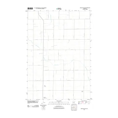
2010 Map of Gracelock NE
USGS Topo · Published 2010About this map
Shakopee Creek meanders through this agricultural landscape in Chippewa County, marking the primary natural drainage in a region heavily modified by local water management. The presence of Judicial Ditch Number Five in the northern portion of the quadrangle illustrates the long history of land reclamation and drainage projects essential for the area's farming economy. The map reveals a structured grid of rural roads, including County Hwy-10 and County Hwy-83, which connect the dispersed farmsteads of this western Minnesota prairie. For those researching local family histories, the map identifies two significant sites: Saint John's Cemetery and the Saint Paul's Evangelical Lutheran Cemetery, both located in the southern half of the sheet. Paynes Airport serves as a modern landmark amidst the section lines, reflecting the continued importance of regional aviation in rural transportation.
Find a feature on this map
33 named features on this map. Tap any name to fly to it.
Don’t see what you’re looking for? This feature index may not catch every label — zoom into the map to look around manually.
Map Details
Editions of this 2010 Gracelock NE Map
This is the sole edition of this map. No revisions or reprints were ever made.
Other maps of this area

1953 · Saint Cloud
USGS Topo · 1:250,000

1957 · Saint Cloud
USGS Topo · 1:250,000

1958 · Saint Cloud
USGS Topo · 1:250,000

1958 · Murdock
USGS Topo · 1:24,000

1958 · Gracelock NE
USGS Topo · 1:24,000

1958 · Kerkhoven SW
USGS Topo · 1:24,000

1958 · Gracelock NW
USGS Topo · 1:24,000

1958 · Gracelock
USGS Topo · 1:24,000

1958 · Gracelock SW
USGS Topo · 1:24,000

1968 · De Graff
USGS Topo · 1:24,000