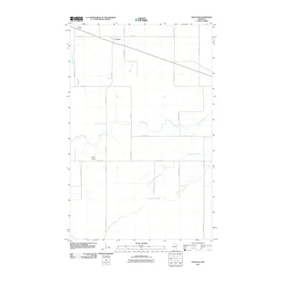
2010 Map of Graceton
USGS Topo · Published 2010About this map
Graceton sits at the northern edge of this Lake of the Woods County landscape, a small community defined by its intersection of local routes and its proximity to the Canadian border. The area is characterized by a dense network of watercourses that drainage the lowland terrain, most notably the winding path of the Winter Road River, which meanders across the central portion of the sheet. To the south, Little Peppermint Creek and Peppermint Creek cut through the woods, while Canfield Creek flows near the western boundary. This 2010 survey highlights the rural infrastructure of the region, including the Graceton Cemetery near the town site and the Potamo- Parke Cemetery further south. The straight lines of Pitt Grade SW and various county highways contrast with the organic curves of the riverbanks, illustrating the grid-based settlement pattern typical of the Minnesota north woods.
Find a feature on this map
26 named features on this map. Tap any name to fly to it.
Don’t see what you’re looking for? This feature index may not catch every label — zoom into the map to look around manually.
Map Details
Editions of this 2010 Graceton Map
This is the sole edition of this map. No revisions or reprints were ever made.
Other maps of this area
1918 · Williams
USGS Topo · 1:62,500
1919 · Peppermint Creek
USGS Topo · 1:62,500
1919 · Canada
USGS Topo · 1:62,500
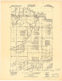
1921 · Baudette
USGS Topo · 1:62,500
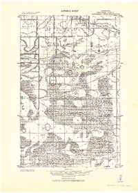
1943 · Peppermint Creek
USGS Topo · 1:62,500
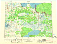
1954 · Roseau
USGS Topo · 1:250,000
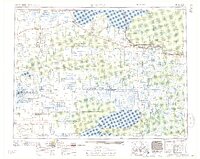
1957 · Roseau
USGS Topo · 1:250,000
1958 · Roseau
USGS Topo · 1:250,000
1967 · Williams
USGS Topo · 1:24,000
1967 · Williams SE
USGS Topo · 1:24,000