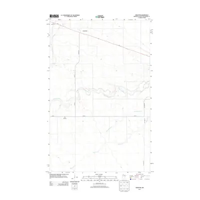
2013 Map of Graceton
USGS Topo · Published 2013About this map
Graceton sits along the northern edge of this Lake of the Woods County landscape, anchored by the MN-11 corridor. The geography is defined by a dense network of watercourses, most notably the winding Winter Road River which meanders across the central portion of the quadrangle. Smaller tributaries like Peppermint Cr, Little Peppermint Cr, and Canfield Cr further dissect the terrain, suggesting the complex drainage patterns typical of northern Minnesota's low-lying borderlands.
Find a feature on this map
12 named features on this map. Tap any name to fly to it.
Don’t see what you’re looking for? This feature index may not catch every label — zoom into the map to look around manually.
Map Details
Editions of this 2013 Graceton Map
This is the sole edition of this map. No revisions or reprints were ever made.
Other maps of this area
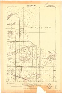
1918 · Williams
USGS Topo · 1:62,500
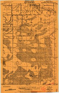
1919 · Peppermint Creek
USGS Topo · 1:62,500
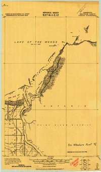
1919 · Canada
USGS Topo · 1:62,500
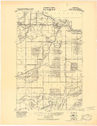
1921 · Baudette
USGS Topo · 1:62,500
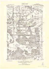
1943 · Peppermint Creek
USGS Topo · 1:62,500
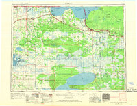
1954 · Roseau
USGS Topo · 1:250,000
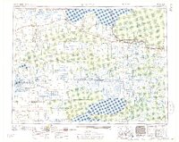
1957 · Roseau
USGS Topo · 1:250,000
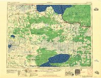
1958 · Roseau
USGS Topo · 1:250,000
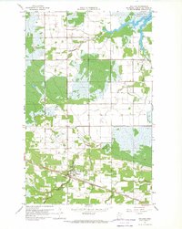
1967 · Williams
USGS Topo · 1:24,000
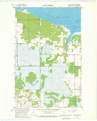
1967 · Williams SE
USGS Topo · 1:24,000