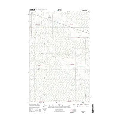
2016 Map of Graceton
USGS Topo · Published 2016About this map
Graceton serves as the primary settlement in this northern Minnesota landscape, situated along the east-west corridor of 8th St NW and Main St W. The area is characterized by a dense network of watercourses and wetlands, with the Winter Road River winding through the central portion of the quadrangle. For those researching local family history, the map identifies two significant burial sites: Graceton Cem in the northwest and the more remote Potamo-Parke Cem located further south. The land is systematically partitioned into several townships including t161n r33w, t160n r33w, and t159n r32w, reflecting the rigid Public Land Survey System that governs this region. Small tributaries such as Peppermint Cr and Little Peppermint Cr drain the southeastern sections, while county roads like Co Rd 68 and Co Rd 181 provide access to the rural interiors between these waterways.
Find a feature on this map
34 named features on this map. Tap any name to fly to it.
Don’t see what you’re looking for? This feature index may not catch every label — zoom into the map to look around manually.
Map Details
Editions of this 2016 Graceton Map
This is the sole edition of this map. No revisions or reprints were ever made.
Other maps of this area
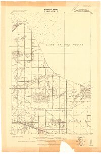
1918 · Williams
USGS Topo · 1:62,500
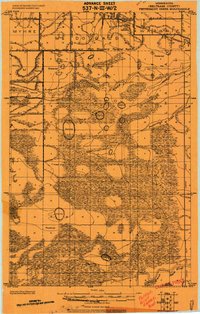
1919 · Peppermint Creek
USGS Topo · 1:62,500
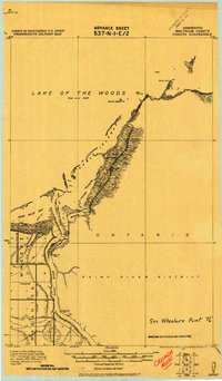
1919 · Canada
USGS Topo · 1:62,500
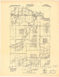
1921 · Baudette
USGS Topo · 1:62,500
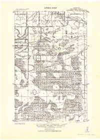
1943 · Peppermint Creek
USGS Topo · 1:62,500
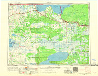
1954 · Roseau
USGS Topo · 1:250,000
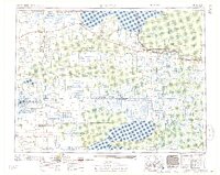
1957 · Roseau
USGS Topo · 1:250,000
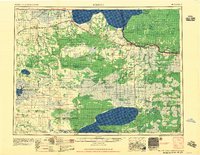
1958 · Roseau
USGS Topo · 1:250,000
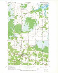
1967 · Williams
USGS Topo · 1:24,000
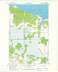
1967 · Williams SE
USGS Topo · 1:24,000