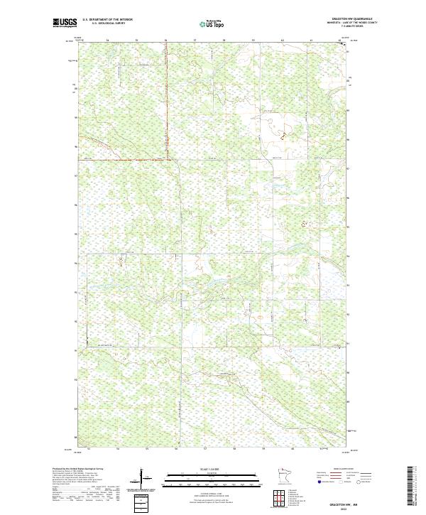
2022 Map of Graceton NW
USGS Topo · Published 2022About this map
Winter Road River and Canfield Cr define the drainage of this low-lying wetland landscape in Lake of the Woods County. The area is characterized by an extensive network of forestry and township roads that cut through the marshy terrain, reflecting a history of timber management and rural accessibility in northern Minnesota. Notable thoroughfares like Nelson Forest Rd and Archele Forest Rd traverse the southern sections, while the northern reaches are accessed via the Warroad/Roseau Trails Trl and Krull Trl. This survey captures a remote interior part of the state where the Public Land Survey System grid is clearly expressed through the alignment of routes like Rangeline Rd SW and 79th Ave NW.
Find a feature on this map
32 named features on this map. Tap any name to fly to it.
Don’t see what you’re looking for? This feature index may not catch every label — zoom into the map to look around manually.
Map Details
Editions of this 2022 Graceton NW Map
This is the sole edition of this map. No revisions or reprints were ever made.
Other maps of this area

1918 · Winterroad
USGS Topo · 1:62,500

1918 · Roosevelt
USGS Topo · 1:62,500

1918 · Williams
USGS Topo · 1:62,500

1919 · Peppermint Creek
USGS Topo · 1:62,500

1943 · Peppermint Creek
USGS Topo · 1:62,500

1943 · Roosevelt
USGS Topo · 1:62,500

1954 · Roseau
USGS Topo · 1:250,000

1957 · Roseau
USGS Topo · 1:250,000

1958 · Roseau
USGS Topo · 1:250,000

1967 · Williams
USGS Topo · 1:24,000