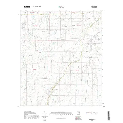
2021 Map of Graceville
USGS Topo · Published 2021About this map
Graceville and its surrounding agricultural and timber lands sit at the crossroads of North Florida and Alabama, marked by the prominent campus of The Baptist College of Florida. The terrain is defined by a series of low elevations like McIntosh Hill and Smothers Hill that rise above the intricate wetland systems of the Holmes Cr basin. To the west, the settlements of Noma and Noma Junction represent the historic rail-and-road connections of Jackson County.
Find a feature on this map
149 named features on this map. Tap any name to fly to it.
Don’t see what you’re looking for? This feature index may not catch every label — zoom into the map to look around manually.
Map Details
Editions of this 2021 Graceville Map
This is the sole edition of this map. No revisions or reprints were ever made.
Other maps of this area

1942 · Enterprise
USGS Topo · 1:125,000

1950 · Chipley
USGS Topo · 1:24,000

1950 · Esto
USGS Topo · 1:24,000

1951 · Graceville
USGS Topo · 1:24,000

1951 · Esto
USGS Topo · 1:24,000

1951 · Chipley
USGS Topo · 1:24,000

1951 · Bonifay
USGS Topo · 1:24,000

1952 · Campbellton
USGS Topo · 1:24,000

1952 · Cottondale West
USGS Topo · 1:24,000

1953 · Dothan
USGS Topo · 1:250,000