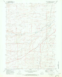
1969 Map of Graham Reservoir
USGS Topo · Published 1972About this map
The historical Emigrant Trail (Slate Creek Trail) cuts across this high-altitude landscape, tracing a path through the northern reaches of this Wyoming terrain. Long after the era of westward migration, the 1969 landscape shows a transition toward ranching and resource management, anchored by the Slate Creek Ranch and the vital water of Graham Reservoir. The intricate network of irrigation and industry is evidenced by the Graham Ditch and multiple Pipelines that traverse the region, supporting the local economy alongside isolated infrastructure like a remote Landing Strip.
Find a feature on this map
18 named features on this map. Tap any name to fly to it.
Don’t see what you’re looking for? This feature index may not catch every label — zoom into the map to look around manually.
Map Details
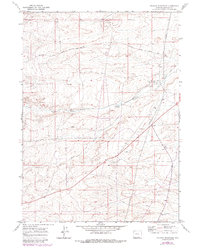
Editions of this 1969 Graham Reservoir Map
2 editions found
Other maps of this area

1945 · Fort Hill
USGS Topo · 1:62,500

1947 · Fort Hill
USGS Topo · 1:62,500

1954 · Ogden
USGS Topo · 1:250,000

1955 · Preston
USGS Topo · 1:250,000

1958 · Ogden
USGS Topo · 1:250,000

1958 · Preston
USGS Topo · 1:250,000

1960 · Ogden
USGS Topo · 1:250,000

1962 · Preston
USGS Topo · 1:250,000

1968 · Fontenelle Reservoir SW
USGS Topo · 1:24,000

1969 · Willow Springs
USGS Topo · 1:24,000