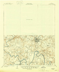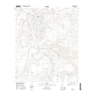
1985 Map of Graham
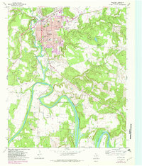
USGS Topo · Published 1991About this map
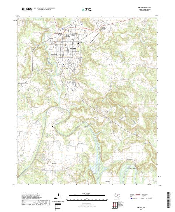
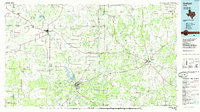
The Brazos River and its Clear Fork Brazos River converge southwest of Graham, forming a complex drainage basin that includes Lake Graham and Lake Eddleman. This mid-1980s landscape is defined by the pervasive presence of an oil field network stretching across the transition from North Central Texas toward the Rolling Plains. To the east, the Missouri Pacific RR serves the regional hub of Jacksboro, passing near the grounds of Fort Richardson State Park. The map documents a tapestry of small rural communities, some established near early water sources like Lake Olney or tucked into the valleys of the Belknap Mountains. Cultural landmarks such as Bastion Chapel and the Proffitt Crossing Cem provide essential anchor points for genealogists tracking family history across the ranching and energy-producing lands of Young and Jack counties.
Find a feature on this map
125 named features on this map. Tap any name to fly to it.
Don’t see what you’re looking for? This feature index may not catch every label — zoom into the map to look around manually.
Map Details
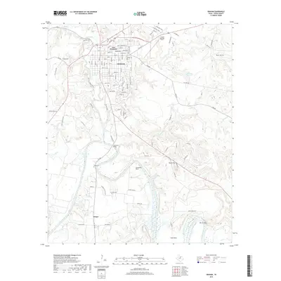
Editions of this 1985 Graham Map
2 editions found
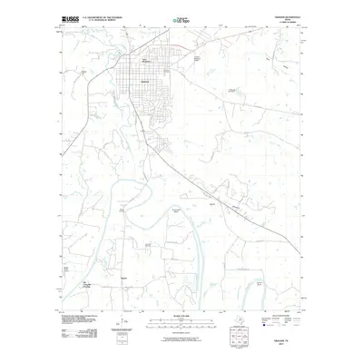
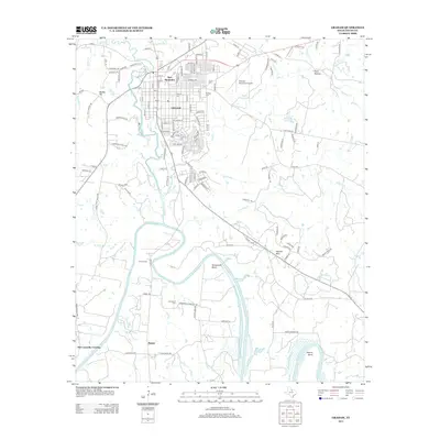
Historical Maps of Graham Through Time
8 maps found