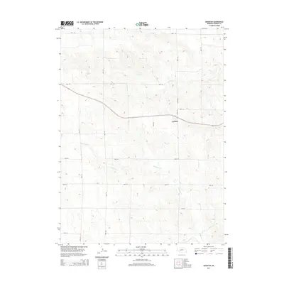
2014 Map of Grainton
USGS Topo · Published 2014About this map
The small settlement of Grainton occupies a prominent position in this Perkins County landscape, situated along a primary east-west transportation corridor. The surrounding terrain is defined by a dense network of sectional roads and the winding path of Blackwood Cr, which meanders across the southern half of the quadrangle. Agricultural land use is evident through the systematic road grid, including Grover Ave and Garver Ave, and the presence of Harns Reservoir to the north. This 2014 survey documents the enduring rural structure of the Nebraska plains, where the interplay between natural drainages and straight-line property boundaries remains the primary characteristic of the high plains environment.
Find a feature on this map
17 named features on this map. Tap any name to fly to it.
Don’t see what you’re looking for? This feature index may not catch every label — zoom into the map to look around manually.
Map Details
Editions of this 2014 Grainton Map
This is the sole edition of this map. No revisions or reprints were ever made.
Other maps of this area

1954 · McCook
USGS Topo · 1:250,000

1957 · McCook
USGS Topo · 1:250,000

1958 · McCook
USGS Topo · 1:250,000
1973 · Grainton
USGS Topo · 1:24,000

1973 · Dittons Creek NE
USGS Topo · 1:24,000
1973 · Elsie NW
USGS Topo · 1:24,000

1973 · Dittons Creek NW
USGS Topo · 1:24,000
1973 · Elsie
USGS Topo · 1:24,000
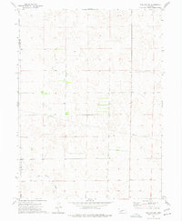
1973 · Wallace NW
USGS Topo · 1:24,000
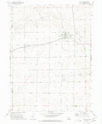
1973 · Wallace
USGS Topo · 1:24,000