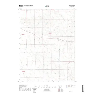
2017 Map of Grainton
USGS Topo · Published 2017About this map
Grainton serves as the primary focal point of this Perkins County landscape, situated along a prominent east-west road and rail corridor. The surrounding terrain is defined by the winding course of Blackwood Creek, which meanders through the southern and central sections of the quadrangle. Agricultural infrastructure is evident in the presence of Harms Reservoir, a key water feature providing irrigation support to the high plains. The map reveals a strictly organized section line grid, with thoroughfares like Grover Ave and Robert Ave providing access to the open country between townships T10N R35W and T11N R35W. This 2017 survey reflects the enduring rural character of southwestern Nebraska, where the intersection of water resources and transportation routes continues to shape the local settlement patterns.
Find a feature on this map
24 named features on this map. Tap any name to fly to it.
Don’t see what you’re looking for? This feature index may not catch every label — zoom into the map to look around manually.
Map Details
Editions of this 2017 Grainton Map
This is the sole edition of this map. No revisions or reprints were ever made.
Other maps of this area
1954 · McCook
USGS Topo · 1:250,000
1957 · McCook
USGS Topo · 1:250,000
1958 · McCook
USGS Topo · 1:250,000
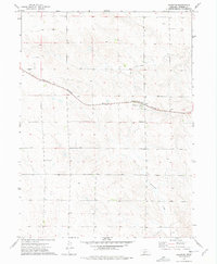
1973 · Grainton
USGS Topo · 1:24,000
1973 · Dittons Creek NE
USGS Topo · 1:24,000
1973 · Elsie NW
USGS Topo · 1:24,000
1973 · Dittons Creek NW
USGS Topo · 1:24,000
1973 · Elsie
USGS Topo · 1:24,000
1973 · Wallace NW
USGS Topo · 1:24,000
1973 · Wallace
USGS Topo · 1:24,000