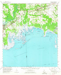
1958 Map of Grand Bay
USGS Topo · Published 1965About this map
The coastal transition from Mississippi to Alabama is defined by the labyrinthine waterways of Grand Bay and the industrial activity near the Jackson County Airport. This late-1950s study highlights a landscape of intricate bayous and islands, where the Louisville and Nashville railroad tracks parallel the coast, connecting settlements like Grand Bay and Fernland to the western industry at Moss Point and Kreole.
Find a feature on this map
75 named features on this map. Tap any name to fly to it.
Don’t see what you’re looking for? This feature index may not catch every label — zoom into the map to look around manually.
Map Details
Editions of this 1958 Grand Bay Map
2 editions found
Other maps of this area

1921 · Grand Bay
USGS Topo · 1:62,500

1921 · Petit Bois Island
USGS Topo · 1:62,500

1921 · Dauphin Island
USGS Topo · 1:62,500

1921 · Delchamps
USGS Topo · 1:62,500

1922 · Mobile
USGS Topo · 1:62,500

1940 · Mobile
USGS Topo · 1:62,500

1941 · Cedar Point
USGS Topo · 1:62,500

1941 · Hurley
USGS Topo · 1:62,500

1941 · Vancleave
USGS Topo · 1:62,500

1941 · Horn Island
USGS Topo · 1:62,500