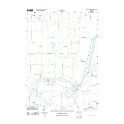
2012 Map of Grand Detour
USGS Topo · Published 2012About this map
The Rock River carves a dramatic oxbow around the historic settlement of Grand Detour, defining the geographic character of this Ogle and Lee County borderland. This 2012 survey illustrates the enduring rural layout of the region, where legacy farmsteads like Coffman Farm and small crossroads such as Kingdom and Stratford persist amidst a network of country roads. The map is particularly detailed regarding local burial grounds, including Grand Detour Cem, Oak Ridge Cem, and the Brethren Cem, providing a precise spatial record for genealogical research in Dixon Township.
Find a feature on this map
88 named features on this map. Tap any name to fly to it.
Don’t see what you’re looking for? This feature index may not catch every label — zoom into the map to look around manually.
Map Details
Editions of this 2012 Grand Detour Map
This is the sole edition of this map. No revisions or reprints were ever made.
Other maps of this area

1918 · Dixon
USGS Topo · 1:62,500

1922 · Oregon
USGS Topo · 1:62,500

1924 · Oregon
USGS Topo · 1:62,500

1930 · Woodsung
USGS Topo · 1:48,000

1942 · Forreston
USGS Topo · 1:62,500

1945 · Forreston
USGS Topo · 1:62,500

1946 · Sterling
USGS Topo · 1:62,500

1948 · Sterling
USGS Topo · 1:62,500

1950 · Dixon
USGS Topo · 1:62,500

1954 · Rockford
USGS Topo · 1:250,000