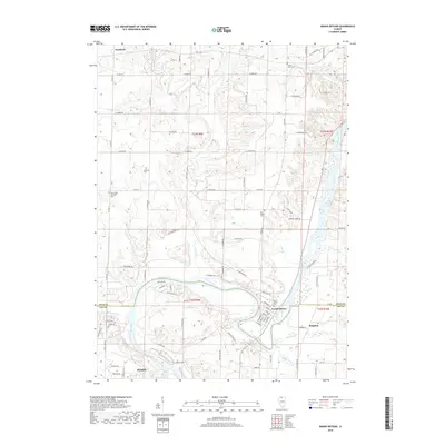
2018 Map of Grand Detour
USGS Topo · Published 2018About this map
The Rock River carves a dramatic oxbow around the historic village of Grand Detour, an area defined by its tight relationship with the water and agricultural tablelands of Lee and Ogle Counties. The settlement pattern here is anchored by several long-established burial grounds, including the Mount Zion Cem and Oak Ridge Cem, which serve as vital landmarks for local family researchers. The river's influence is clear in the naming of riverfront access points like Dutch Lndg and Doc's Lndg near the northern outskirts of Dixon.
Find a feature on this map
88 named features on this map. Tap any name to fly to it.
Don’t see what you’re looking for? This feature index may not catch every label — zoom into the map to look around manually.
Map Details
Editions of this 2018 Grand Detour Map
This is the sole edition of this map. No revisions or reprints were ever made.
Other maps of this area

1918 · Dixon
USGS Topo · 1:62,500

1922 · Oregon
USGS Topo · 1:62,500

1924 · Oregon
USGS Topo · 1:62,500

1930 · Woodsung
USGS Topo · 1:48,000

1942 · Forreston
USGS Topo · 1:62,500

1945 · Forreston
USGS Topo · 1:62,500

1946 · Sterling
USGS Topo · 1:62,500

1948 · Sterling
USGS Topo · 1:62,500

1950 · Dixon
USGS Topo · 1:62,500

1954 · Rockford
USGS Topo · 1:250,000