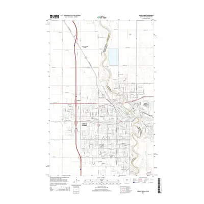
2014 Map of Grand Forks
USGS Topo · Published 2014About this map
The Red River of the North serves as the winding border between North Dakota and Minnesota, defining the twin-city relationship of Grand Forks and East Grand Forks. This 2014 survey captures the urban density concentrated around the Univ of North Dakota and the convergence of major transit corridors, including the Bnsf Railway and Gateway Dr. The landscape is shaped by the glacial legacy of the Altamont Moraine to the south and the meandering path of the English Coulee, which cuts through the residential and academic heart of the city. Notable for genealogists and local historians, the map identifies several significant resting places such as Memorial Park Cem, Calvary Cem, and Sunset Memorial Gardens. To the north, the industrial and rail-influenced settlements of North Grand Forks and Calspur illustrate the ongoing expansion of the metropolitan area beyond its traditional riverfront core.
Find a feature on this map
85 named features on this map. Tap any name to fly to it.
Don’t see what you’re looking for? This feature index may not catch every label — zoom into the map to look around manually.
Map Details
Editions of this 2014 Grand Forks Map
This is the sole edition of this map. No revisions or reprints were ever made.
Other maps of this area

1918 · Warren
USGS Topo · 1:62,500

1934 · Grand Forks
USGS Topo · 1:24,000

1934 · Grand Forks
USGS Topo · 1:62,500

1938 · Grand Forks
USGS Topo · 1:62,500

1952 · Grand Forks
USGS Topo · 1:250,000

1952 · Thief River Falls
USGS Topo · 1:250,000

1955 · Warren
USGS Topo · 1:62,500

1956 · Thief River Falls
USGS Topo · 1:250,000

1956 · Grand Forks
USGS Topo · 1:250,000

1957 · Thief River Falls
USGS Topo · 1:250,000