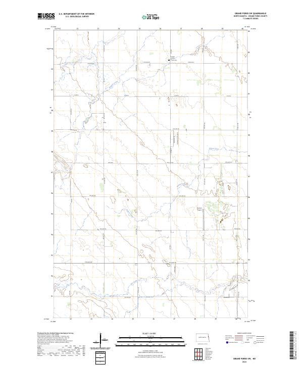
2024 Map of Grand Forks SW
USGS Topo · Published 2024About this map
The agricultural landscape southwest of Grand Forks is defined by a grid of rural roads and the winding paths of several coulees. English Coulee and Wilson Creek cut through the northern and central sections, while Elm Coulee meanders across the southern portion of the map. These waterways provided critical drainage for the surrounding farmland, which is organized under the Public Land Survey System across several townships including t150n r51w and t149n r51w.
Find a feature on this map
35 named features on this map. Tap any name to fly to it.
Don’t see what you’re looking for? This feature index may not catch every label — zoom into the map to look around manually.
Map Details
Editions of this 2024 Grand Forks SW Map
This is the sole edition of this map. No revisions or reprints were ever made.
Other maps of this area

1934 · Emerado
USGS Topo · 1:48,000

1934 · Grand Forks
USGS Topo · 1:24,000

1934 · Grand Forks
USGS Topo · 1:62,500

1936 · Emerado
USGS Topo · 1:62,500

1938 · Grand Forks
USGS Topo · 1:62,500

1952 · Grand Forks
USGS Topo · 1:250,000

1956 · Grand Forks
USGS Topo · 1:250,000
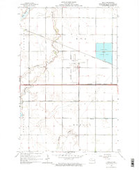
1963 · Kelly
USGS Topo · 1:24,000

1963 · Emerado SE
USGS Topo · 1:24,000
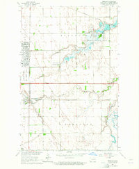
1963 · Emerado
USGS Topo · 1:24,000