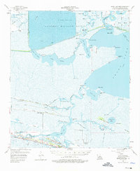
1955 Map of Grand Lake West
USGS Topo · Published 1976About this map
Grand Lake and the Lacassine National Wildlife Refuge dominate this coastal landscape, illustrating the complex hydrology of mid-century Cameron Parish. The map reveals a region defined by its ridges and cheniers—elevated sandy strands that supported early settlements like Grand Chenier and Portie amidst the surrounding marshes. Cultural life is anchored along these ridges, with the Grand Chenier High Sch, Little Chenier Ch, and family burial sites such as Boudoin Cem and Chenier Perdue Cem providing critical genealogical touchpoints. The heavy industrial footprint of the era is evident through the Intracoastal Waterway and various energy developments, including the Lowry Oil and Gas Field and the Grand Chenier Gas Field. Local recreation also leaves its mark, most notably with a Drive-in Theater located south of the Mermentau River.
Find a feature on this map
68 named features on this map. Tap any name to fly to it.
Don’t see what you’re looking for? This feature index may not catch every label — zoom into the map to look around manually.
Map Details
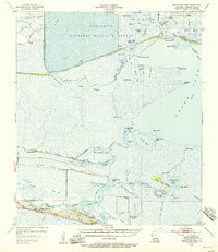
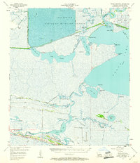
Editions of this 1955 Grand Lake West Map
3 editions found
Other maps of this area

1932 · Lake Charles SE
USGS Topo · 1:31,680

1932 · Constance Bayou NW
USGS Topo · 1:31,680

1934 · Catfish Lake
USGS Topo · 1:24,000

1934 · Lake Misere
USGS Topo · 1:24,000

1934 · Boudreaux Lake
USGS Topo · 1:24,000

1934 · Latania Lake
USGS Topo · 1:24,000

1935 · Lake Misere
USGS Topo · 1:31,680

1935 · Catfish Lake
USGS Topo · 1:31,680

1935 · Latania Lake
USGS Topo · 1:31,680

1935 · Boudreaux Lake
USGS Topo · 1:31,680