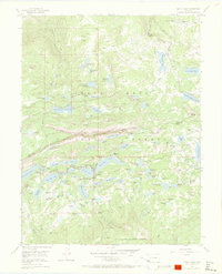
1955 Map of Grand Mesa
USGS Topo · Published 1973About this map
Grand Mesa rises as a prominent high-altitude plateau, dominated by an intricate network of man-made water management systems within the Grand Mesa National Forest. During the mid-1950s, this landscape was defined by its dual purpose as a recreational retreat and a vital water catchment area, evidenced by the cluster of religious and administrative landmarks near the settlement of Grand Mesa. Here, the Grand Mesa Christian Association and Columbia Chapel stand alongside the Ward Lake Ranger Sta, marking a hub of seasonal activity.
Find a feature on this map
97 named features on this map. Tap any name to fly to it.
Don’t see what you’re looking for? This feature index may not catch every label — zoom into the map to look around manually.
Map Details
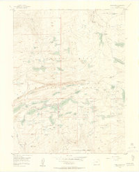
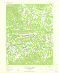
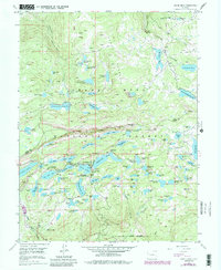
Editions of this 1955 Grand Mesa Map
5 editions found
Other maps of this area

1955 · Collbran
USGS Topo · 1:24,000

1955 · Grand Mesa
USGS Topo · 1:24,000

1955 · Molina
USGS Topo · 1:24,000

1955 · Skyway
USGS Topo · 1:24,000

1955 · The Meadows
USGS Topo · 1:24,000

1956 · Montrose
USGS Topo · 1:250,000

1956 · Moab
USGS Topo · 1:250,000

1956 · Grand Junction
USGS Topo · 1:250,000

1957 · Leadville
USGS Topo · 1:250,000

1959 · Grand Junction
USGS Topo · 1:250,000