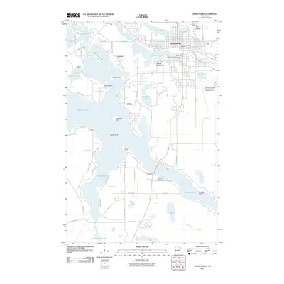
2010 Map of Grand Rapids
USGS Topo · Published 2010About this map
Grand Rapids serves as the focal point of this northern Minnesota landscape, situated where the Mississippi River is regulated by the Blandin Dam. The area's industrial and recreational character is defined by the expansive waters of Pokegama Lake, which features numerous named points and islands including Nesbitt Island and Wendigo Island. To the east of the river, the town's civic infrastructure is visible through the Itasca County Fairgrounds, the Grand Rapids Speedway, and the Grand Rapids-Itasca County/Gordon Newstrom Field.
Find a feature on this map
72 named features on this map. Tap any name to fly to it.
Don’t see what you’re looking for? This feature index may not catch every label — zoom into the map to look around manually.
Map Details
Editions of this 2010 Grand Rapids Map
This is the sole edition of this map. No revisions or reprints were ever made.
Other maps of this area

1920 · Trout Lake
USGS Topo · 1:62,500

1952 · Bovey
USGS Topo · 1:24,000

1953 · Cohasset East
USGS Topo · 1:24,000

1953 · Siseebakwet Lake
USGS Topo · 1:24,000

1953 · Cohasset West
USGS Topo · 1:24,000

1953 · Grand Rapids
USGS Topo · 1:24,000

1954 · Hibbing
USGS Topo · 1:250,000

1957 · Hibbing
USGS Topo · 1:250,000

1958 · Hibbing
USGS Topo · 1:250,000

1964 · Hibbing
USGS Topo · 1:250,000
Featured Places
- Grand Rapids, MN
- Cohasset, MN
- La Prairie, MN
- Wagon Wheel Mobile Home Park, Grand Rapids
- Acheson Mobile Home Village, La Prairie