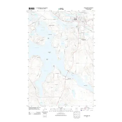
2013 Map of Grand Rapids
USGS Topo · Published 2013About this map
The Mississippi River winds through the heart of Grand Rapids, reflecting the city's long-standing connection to water-based industry and power. The Paper Mill Reservoir and the adjacent industrial grid highlight the economic foundations of the area, while the residential expansion at Lakeview Terrace illustrates the community's growth along the shores of Pokegama Lake. The complex shoreline of the lake is defined by numerous points and islands, including Chisholm Point, Wilder Island, and Wendigo Island, indicating a landscape deeply influenced by glacial topography.
Find a feature on this map
107 named features on this map. Tap any name to fly to it.
Don’t see what you’re looking for? This feature index may not catch every label — zoom into the map to look around manually.
Map Details
Editions of this 2013 Grand Rapids Map
This is the sole edition of this map. No revisions or reprints were ever made.
Other maps of this area

1920 · Trout Lake
USGS Topo · 1:62,500

1952 · Bovey
USGS Topo · 1:24,000

1953 · Cohasset East
USGS Topo · 1:24,000

1953 · Siseebakwet Lake
USGS Topo · 1:24,000

1953 · Cohasset West
USGS Topo · 1:24,000

1953 · Grand Rapids
USGS Topo · 1:24,000

1954 · Hibbing
USGS Topo · 1:250,000

1957 · Hibbing
USGS Topo · 1:250,000

1958 · Hibbing
USGS Topo · 1:250,000

1964 · Hibbing
USGS Topo · 1:250,000
Featured Places
- Grand Rapids, MN
- Cohasset, MN
- La Prairie, MN
- Wagon Wheel Mobile Home Park, Grand Rapids
- Acheson Mobile Home Village, La Prairie