Loading...
Loading map...2022 Map of Grand Rapids
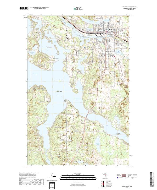
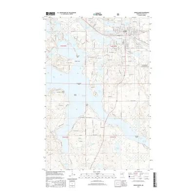
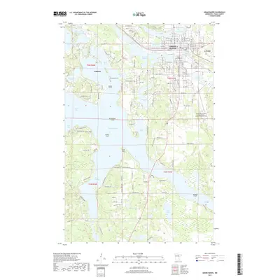
USGS Topo · Published 2022About this map
The Mississippi River winds through the heart of this region, creating a complex geography of interconnected waterways and industrial development. In Grand Rapids, the river forms the Paper Mill Reservoir, which historically supported the local paper industry that anchored the town's economy. The landscape is defined by the massive expanse of Pokegama Lake, featuring prominent landmarks like Drumbeater Island and Stony Point.
Find a feature on this map
101 named features on this map. Tap any name to fly to it.
Don’t see what you’re looking for? This feature index may not catch every label — zoom into the map to look around manually.
Map Details
Date Portrayed2022
Date Published2022
PublisherU.S. Geological Survey
Map TypeTopographic
Scale1:24,000
Physical Dimensions24 x 29 inches
Editions of this 2022 Grand Rapids Map
This is the sole edition of this map. No revisions or reprints were ever made.
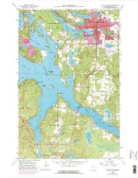
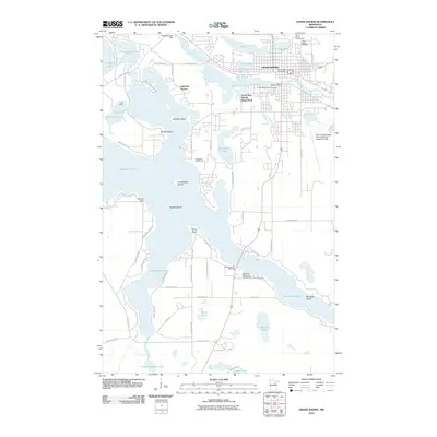
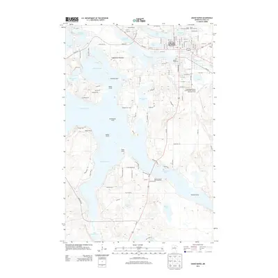
Historical Maps of Grand Rapids Through Time
6 maps found
Featured Locations
- La Prairie, MN
- Cohasset, MN
- Grand Rapids, MN
- Wagon Wheel Mobile Home Park, Grand Rapids
- Acheson Mobile Home Village, La Prairie
Source Details
SourceU.S. Geological Survey
CopyrightPublic Domain