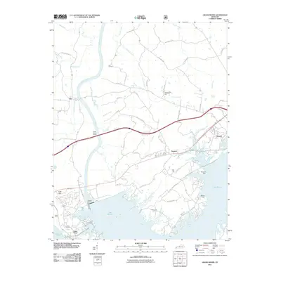
2011 Map of Grand Rivers
USGS Topo · Published 2011About this map
Lake Barkley and Kentucky Lake dominate the southern portion of this landscape, separated by the narrow peninsula that includes the settlement of Grand Rivers. The massive engineering of Barkley Dam controls the flow of the Cumberland River, which winds north past Iuka and creates a complex network of waterways like Baldwin Slough and Big Crevasse Creek. This 2011 survey documents the varied land use of the region, from the industrial presence of Gravel Switch to the agricultural operations at the Kentucky State Penitentiary Farm. Local history is preserved through numerous family and community burial grounds, including Adams and Peek Cemetery, while the terrain is marked by distinctive shore features like Buzzard Rock and Money Cliff along the expansive lakefronts.
Find a feature on this map
62 named features on this map. Tap any name to fly to it.
Don’t see what you’re looking for? This feature index may not catch every label — zoom into the map to look around manually.
Map Details
Editions of this 2011 Grand Rivers Map
This is the sole edition of this map. No revisions or reprints were ever made.
Other maps of this area

1928 · Eddyville
USGS Topo · 1:48,000

1929 · Smithland
USGS Topo · 1:62,500

1931 · Eddyville
USGS Topo · 1:62,500

1936 · Eddyville
USGS Topo · 1:48,000

1936 · Mont
USGS Topo · 1:24,000

1936 · Grand Rivers
USGS Topo · 1:24,000

1936 · Smithland
USGS Topo · 1:48,000

1936 · Benton
USGS Topo · 1:48,000

1936 · Birmingham
USGS Topo · 1:24,000

1936 · Golden Pond
USGS Topo · 1:48,000