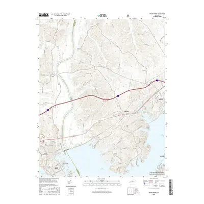
2016 Map of Grand Rivers
USGS Topo · Published 2016About this map
Lake Barkley and Kentucky Lake dominate this 2016 survey, defining the narrow peninsula known as the Land Between The Lakes National Recreation Area. The landscape is bisected by the Cumberland River, which flows through a complex system of sloughs and creeks including Baldwin Slough and Big Crevasse Cr. This geography creates a unique corridor where infrastructure must navigate dense water networks, exemplified by the Ralph Smith Bridge crossing.
Find a feature on this map
96 named features on this map. Tap any name to fly to it.
Don’t see what you’re looking for? This feature index may not catch every label — zoom into the map to look around manually.
Map Details
Editions of this 2016 Grand Rivers Map
This is the sole edition of this map. No revisions or reprints were ever made.
Other maps of this area

1928 · Eddyville
USGS Topo · 1:48,000

1929 · Smithland
USGS Topo · 1:62,500

1931 · Eddyville
USGS Topo · 1:62,500

1936 · Eddyville
USGS Topo · 1:48,000

1936 · Mont
USGS Topo · 1:24,000

1936 · Grand Rivers
USGS Topo · 1:24,000

1936 · Smithland
USGS Topo · 1:48,000

1936 · Benton
USGS Topo · 1:48,000

1936 · Birmingham
USGS Topo · 1:24,000

1936 · Golden Pond
USGS Topo · 1:48,000