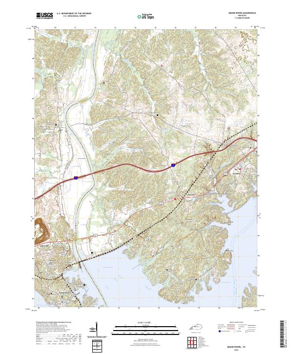
2022 Map of Grand Rivers
USGS Topo · Published 2022About this map
Lake Barkley and Kentucky Lake define the peninsula of western Kentucky shown here, where the Cumberland River flows between Livingston Co and Lyon Co. This landscape is marked by numerous family burial grounds and country churches that anchor the rural communities of Iuka, Suwanee, and Kuttawa. The presence of the Tennessee Valley Divide near Lake City illustrates the region's complex hydrology, while the waterfront is punctuated by landmarks such as Buzzard Rock and Money Cliff.
Find a feature on this map
114 named features on this map. Tap any name to fly to it.
Don’t see what you’re looking for? This feature index may not catch every label — zoom into the map to look around manually.
Map Details
Editions of this 2022 Grand Rivers Map
This is the sole edition of this map. No revisions or reprints were ever made.
Other maps of this area

1928 · Eddyville
USGS Topo · 1:48,000

1929 · Smithland
USGS Topo · 1:62,500

1931 · Eddyville
USGS Topo · 1:62,500

1936 · Eddyville
USGS Topo · 1:48,000

1936 · Mont
USGS Topo · 1:24,000

1936 · Grand Rivers
USGS Topo · 1:24,000

1936 · Smithland
USGS Topo · 1:48,000

1936 · Benton
USGS Topo · 1:48,000

1936 · Birmingham
USGS Topo · 1:24,000

1936 · Golden Pond
USGS Topo · 1:48,000