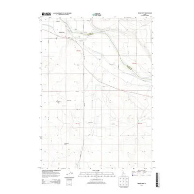
2013 Map of Grand View
USGS Topo · Published 2013About this map
The Snake River defines the border between Elmore and Owyhee counties in this high-desert agricultural landscape, where an intricate network of irrigation systems sustains local life. Water management is the central theme of the region, evidenced by the Grand View Irrigation District Canal, Low Line Canal, and Shoofly Canal which cut across the arid terrain. The settlement of Grand View sits at the heart of this managed landscape, surrounded by family-named operations such as Dixie Ranch, Shoofly Ranch, and the Whitson Ranch.
Find a feature on this map
39 named features on this map. Tap any name to fly to it.
Don’t see what you’re looking for? This feature index may not catch every label — zoom into the map to look around manually.
Map Details
Editions of this 2013 Grand View Map
This is the sole edition of this map. No revisions or reprints were ever made.
Other maps of this area

1892 · Mountain Home
USGS Topo · 1:125,000

1892 · Bisuka
USGS Topo · 1:125,000

1893 · Mountain Home
USGS Topo · 1:125,000

1894 · Bisuka
USGS Topo · 1:125,000

1946 · Mouth of Bruneau
USGS Topo · 1:24,000

1947 · Little Valley
USGS Topo · 1:24,000

1947 · Grand View
USGS Topo · 1:62,500

1947 · Bruneau
USGS Topo · 1:62,500

1947 · Grand View
USGS Topo · 1:24,000

1947 · Jackass Butte
USGS Topo · 1:24,000