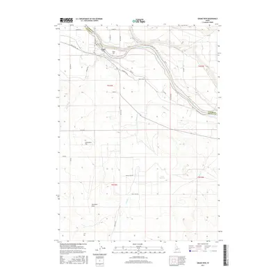
2017 Map of Grand View
USGS Topo · Published 2017About this map
The Snake River defines the northern reaches of this Idaho landscape, where the settlement of Grand View serves as a hub for the surrounding agricultural and ranching terrain. The community is situated near Gold Isle, at a bend in the river where an extensive network of artificial waterways, including the Grand View Irrigation District Canal and Low Line Canal, redirects water to the arid lands south of the riverbank. This complex irrigation system is central to the area's development, supporting operations like those found along Triangle Dairy Rd. Further south, the terrain transitions into the high desert features of Twentymile Flat and Twentymile Gulch, with the Shoofly Canal and Shoofly Cr cutting through the open country. The presence of the Hinton Reservoir and numerous rural roads such as Mud Flat Rd and Sagebrush Hill Ln highlights a landscape managed for both cattle and cultivation in this Owyhee County corridor.
Find a feature on this map
38 named features on this map. Tap any name to fly to it.
Don’t see what you’re looking for? This feature index may not catch every label — zoom into the map to look around manually.
Map Details
Editions of this 2017 Grand View Map
This is the sole edition of this map. No revisions or reprints were ever made.
Other maps of this area
1892 · Mountain Home
USGS Topo · 1:125,000
1892 · Bisuka
USGS Topo · 1:125,000
1893 · Mountain Home
USGS Topo · 1:125,000
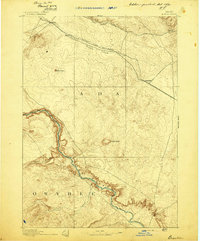
1894 · Bisuka
USGS Topo · 1:125,000
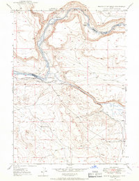
1946 · Mouth of Bruneau
USGS Topo · 1:24,000
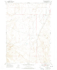
1947 · Little Valley
USGS Topo · 1:24,000
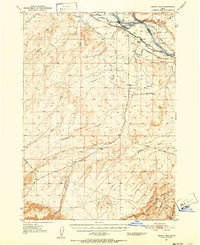
1947 · Grand View
USGS Topo · 1:62,500
1947 · Bruneau
USGS Topo · 1:62,500
1947 · Grand View
USGS Topo · 1:24,000
1947 · Jackass Butte
USGS Topo · 1:24,000