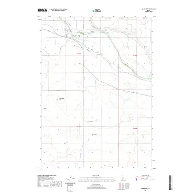
2020 Map of Grand View
USGS Topo · Published 2020About this map
The Snake River carves a deep valley through this high desert region, serving as the border between Elmore and Owyhee counties. The settlement of Grand View sits on the southern bank, defined by a complex network of artificial waterways including the Grand View Irrigation District Canal, Low Line Canal, and Shoofly Canal. These engineering works transformed the arid landscape, allowing for agricultural development like that seen at Triangle Dairy Road. South of the river, the terrain rises into the stark relief of Twentymile Flat and the winding Twentymile Gulch, while Gold Isle sits within the river channel itself. The map captures the specialized land use of the Snake River Plain, where local drainages like Shoofly Cr and Jensen Wash are integrated into a system of dams and ditches supporting the local economy.
Find a feature on this map
37 named features on this map. Tap any name to fly to it.
Don’t see what you’re looking for? This feature index may not catch every label — zoom into the map to look around manually.
Map Details
Editions of this 2020 Grand View Map
This is the sole edition of this map. No revisions or reprints were ever made.
Other maps of this area

1892 · Mountain Home
USGS Topo · 1:125,000

1892 · Bisuka
USGS Topo · 1:125,000

1893 · Mountain Home
USGS Topo · 1:125,000

1894 · Bisuka
USGS Topo · 1:125,000

1946 · Mouth of Bruneau
USGS Topo · 1:24,000

1947 · Little Valley
USGS Topo · 1:24,000

1947 · Grand View
USGS Topo · 1:62,500

1947 · Bruneau
USGS Topo · 1:62,500

1947 · Grand View
USGS Topo · 1:24,000

1947 · Jackass Butte
USGS Topo · 1:24,000