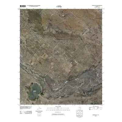
2010 Map of Grandfalls
USGS Topo · Published 2010About this map
The settlement of Grandfalls and the smaller community of Royalty anchor this arid Ward County landscape, where the survival of the local economy is tied to the management of water and oil. Irrigation is the defining human imprint on the terrain, visible through an intricate network of waterways including the Grandfalls Canal, Van Carr Canal, and North Lateral. These systems draw from the Pecos River, which meanders across the southern portion of the sheet toward the Imperial Reservoir.
Find a feature on this map
27 named features on this map. Tap any name to fly to it.
Don’t see what you’re looking for? This feature index may not catch every label — zoom into the map to look around manually.
Map Details
Editions of this 2010 Grandfalls Map
This is the sole edition of this map. No revisions or reprints were ever made.
Other maps of this area

1954 · Pecos
USGS Topo · 1:250,000

1957 · Pecos
USGS Topo · 1:250,000

1969 · Ozark Lake
USGS Topo · 1:24,000

1969 · Grandfalls
USGS Topo · 1:24,000

1969 · 7 L Ranch
USGS Topo · 1:24,000
1972 · Buena Vista
USGS Topo · 1:24,000
1974 · Diamond Y Spring NE
USGS Topo · 1:24,000
1974 · Imperial NW
USGS Topo · 1:24,000
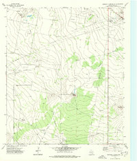
1974 · Diamond Y Spring NW
USGS Topo · 1:24,000
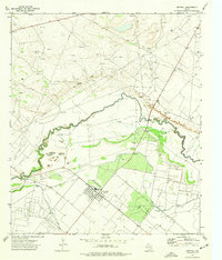
1974 · Imperial
USGS Topo · 1:24,000