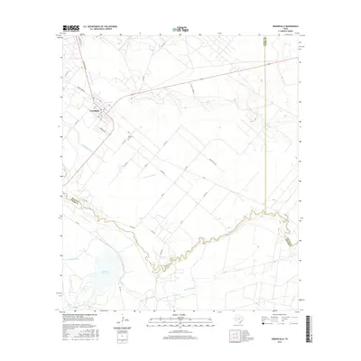
2016 Map of Grandfalls
USGS Topo · Published 2016About this map
Grandfalls stands as a vital hub in this West Texas landscape, where the management of water defines the human footprint on the arid terrain. The settlement is intricately connected to a network of irrigation works, including the Grandfalls Canal, N Lateral, and Van Carr Canal, which draw from the meandering Pecos River. These systems represent a legacy of desert reclamation efforts designed to support agriculture south of the community. Further south, the Imperial Reservoir serves as a major hydrological landmark, flanked by the Imperial Canal and Imperial Ditch. The presence of the Tamarisk Cem near the town center and family-named routes like Perryman Rd reflect the local history of Ward County families. The landscape is also shaped by industrial transit, evidenced by the C B N Oil Company road, highlighting the intersection of water-driven agriculture and the region's petroleum economy.
Find a feature on this map
48 named features on this map. Tap any name to fly to it.
Don’t see what you’re looking for? This feature index may not catch every label — zoom into the map to look around manually.
Map Details
Editions of this 2016 Grandfalls Map
This is the sole edition of this map. No revisions or reprints were ever made.
Other maps of this area

1954 · Pecos
USGS Topo · 1:250,000
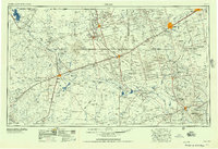
1957 · Pecos
USGS Topo · 1:250,000
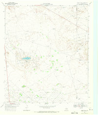
1969 · Ozark Lake
USGS Topo · 1:24,000
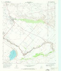
1969 · Grandfalls
USGS Topo · 1:24,000
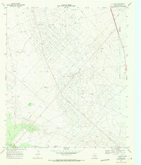
1969 · 7 L Ranch
USGS Topo · 1:24,000
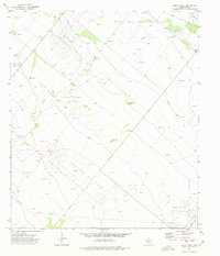
1972 · Buena Vista
USGS Topo · 1:24,000
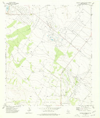
1974 · Diamond Y Spring NE
USGS Topo · 1:24,000
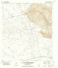
1974 · Imperial NW
USGS Topo · 1:24,000
1974 · Diamond Y Spring NW
USGS Topo · 1:24,000
1974 · Imperial
USGS Topo · 1:24,000