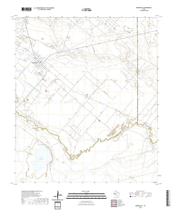
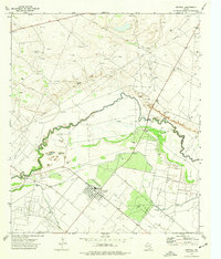
2022 Map of Grandfalls
USGS Topo · Published 2022About this map
The town of Grandfalls serves as the hub of this West Texas landscape, where an intricate network of irrigation systems defines the local geography. Situated along the boundary of Ward and Pecos counties, the area is sustained by the winding course of the Pecos River. A complex infrastructure of water management is visible through features like the Grandfalls Canal, Van Carr Canal, and the Imperial Canal, which draw from the river to support the arid surrounding plains.
Find a feature on this map
47 named features on this map. Tap any name to fly to it.
Don’t see what you’re looking for? This feature index may not catch every label — zoom into the map to look around manually.
Map Details
Editions of this 2022 Grandfalls Map
This is the sole edition of this map. No revisions or reprints were ever made.
Other maps of this area

1954 · Pecos
USGS Topo · 1:250,000

1957 · Pecos
USGS Topo · 1:250,000
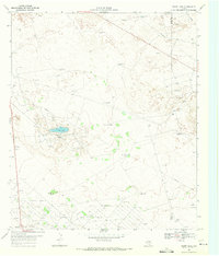
1969 · Ozark Lake
USGS Topo · 1:24,000
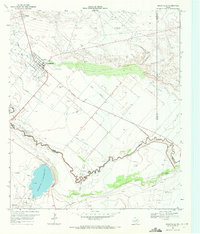
1969 · Grandfalls
USGS Topo · 1:24,000
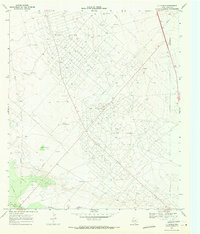
1969 · 7 L Ranch
USGS Topo · 1:24,000
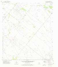
1972 · Buena Vista
USGS Topo · 1:24,000
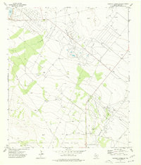
1974 · Diamond Y Spring NE
USGS Topo · 1:24,000
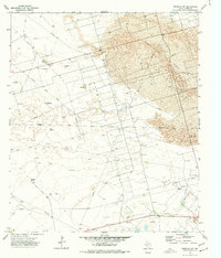
1974 · Imperial NW
USGS Topo · 1:24,000
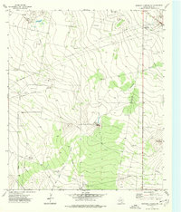
1974 · Diamond Y Spring NW
USGS Topo · 1:24,000
1974 · Imperial
USGS Topo · 1:24,000