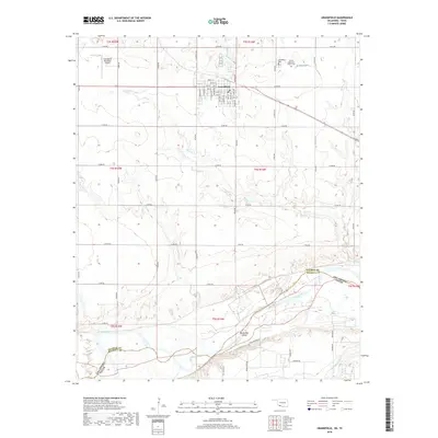
2018 Map of Grandfield
USGS Topo · Published 2018About this map
Grandfield serves as the primary hub in this portion of Tillman County, situated amidst a grid of rural roads and fertile Oklahoma plains north of the Red River. The town's layout is meticulously detailed, showing a street grid from Orth St down to 5th St, with key local landmarks such as the Grandfield Municipal Airport and Grandfield Cem marking the northern outskirts. To the east of town, the Eschiti Methodist Church and the adjacent Eschiti Cem provide important reference points for genealogists and local historians tracking the community's early development. The southern portion of the landscape is defined by the winding course of the Red River, which forms the border between Oklahoma and Texas. Near the river's bend, the distinctive Burke Bet Island sits within the channel, while numerous tributaries like Bule Creek, Curtis Cr, and Wildhorse Cr drain the surrounding prairie lands.
Find a feature on this map
61 named features on this map. Tap any name to fly to it.
Don’t see what you’re looking for? This feature index may not catch every label — zoom into the map to look around manually.
Map Details
Editions of this 2018 Grandfield Map
This is the sole edition of this map. No revisions or reprints were ever made.
Other maps of this area
1915 · Clara
USGS Topo · 1:24,000
1915 · Barwise School
USGS Topo · 1:24,000
1915 · Burkburnett
USGS Topo · 1:24,000
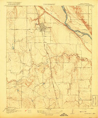
1918 · Buckburnett
USGS Topo · 1:31,680
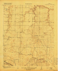
1918 · Barwise School
USGS Topo · 1:31,680
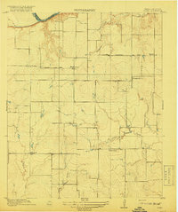
1918 · Clara
USGS Topo · 1:31,680
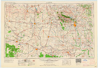
1955 · Lawton
USGS Topo · 1:250,000
1957 · Burkburnett
USGS Topo · 1:62,500
1958 · Electra
USGS Topo · 1:62,500
1962 · Chattanooga
USGS Topo · 1:62,500