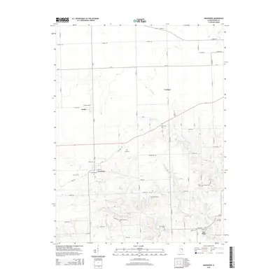
2015 Map of Grandview
USGS Topo · Published 2015About this map
The settlement of Grandview serves as a central hub in this part of Edgar County, where the prairie landscape is carved by the drainages of W Fork Big Cr and Flemington Cr. A high density of small family and community burial grounds, including the uniquely named Cholera Cem, Hinds Cem, and New Goshen Cem, provides a significant footprint for genealogical research. The region's transport network is defined by a grid of rural roads such as CR-20 and E 500th Rd, supporting small-scale aviation at Bussart Airport and Glatthaar Airport. This area is characterized by scattered rural communities like Dudley, Conlogue, and Bell Ridge, each situated near the headwaters of local creeks that eventually feed into larger systems like Sugar Cr or Mill Cr.
Find a feature on this map
57 named features on this map. Tap any name to fly to it.
Don’t see what you’re looking for? This feature index may not catch every label — zoom into the map to look around manually.
Map Details
Editions of this 2015 Grandview Map
This is the sole edition of this map. No revisions or reprints were ever made.
Other maps of this area
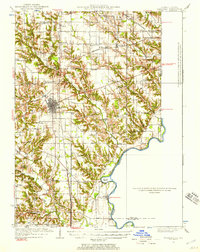
1932 · Marshall
USGS Topo · 1:62,500
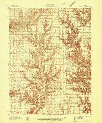
1936 · Casey
USGS Topo · 1:48,000
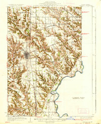
1937 · Marshall
USGS Topo · 1:62,500
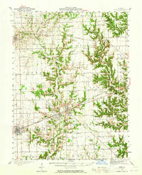
1942 · Casey
USGS Topo · 1:62,500
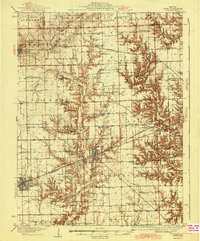
1943 · Casey
USGS Topo · 1:62,500
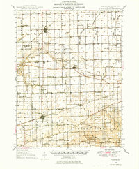
1946 · Kansas
USGS Topo · 1:62,500
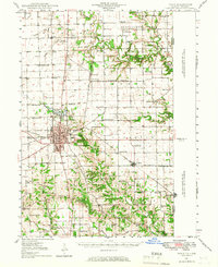
1947 · Paris
USGS Topo · 1:62,500
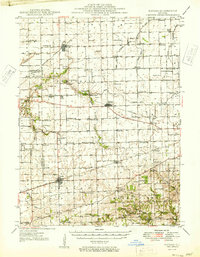
1949 · Kansas
USGS Topo · 1:62,500
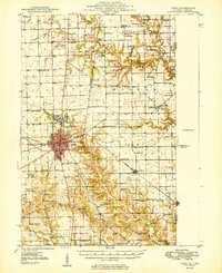
1949 · Paris
USGS Topo · 1:62,500
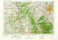
1953 · Indianapolis
USGS Topo · 1:250,000