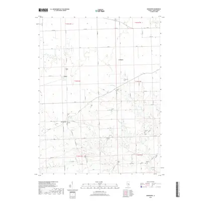
2018 Map of Grandview
USGS Topo · Published 2018About this map
The agricultural landscape of Edgar County reveals a history of family-named landmarks and early burial grounds centered around the settlement of Grandview. This prairie region is defined by a dense network of local routes such as Coach Rd and E 500th Rd, connecting small communities like Dudley and Conlogue. For genealogists, the map provides an exceptional record of historic cemeteries, including the descriptively named Cholera Cem and the Zimmerty Cem.
Find a feature on this map
40 named features on this map. Tap any name to fly to it.
Don’t see what you’re looking for? This feature index may not catch every label — zoom into the map to look around manually.
Map Details
Editions of this 2018 Grandview Map
This is the sole edition of this map. No revisions or reprints were ever made.
Other maps of this area
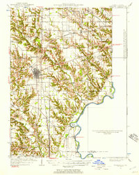
1932 · Marshall
USGS Topo · 1:62,500
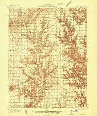
1936 · Casey
USGS Topo · 1:48,000
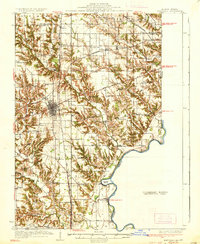
1937 · Marshall
USGS Topo · 1:62,500
1942 · Casey
USGS Topo · 1:62,500
1943 · Casey
USGS Topo · 1:62,500
1946 · Kansas
USGS Topo · 1:62,500
1947 · Paris
USGS Topo · 1:62,500
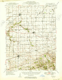
1949 · Kansas
USGS Topo · 1:62,500
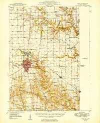
1949 · Paris
USGS Topo · 1:62,500
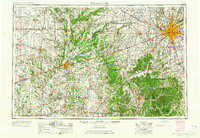
1953 · Indianapolis
USGS Topo · 1:250,000