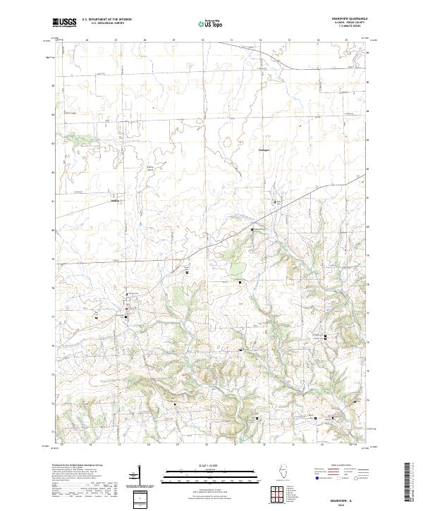
2024 Map of Grandview
USGS Topo · Published 2024About this map
Dudley and the surrounding farmland of Edgar County define this region, where a dense network of family and community burial grounds preserves the legacy of early Illinois settlement. The geography is deeply tied to the drainage patterns of West Fork Big Creek, East Fork Big Creek, and Flemington Creek, which carve through the till plain. Of particular note for local historians is the Cholera Cem near Grandview Cem, a stark reminder of 19th-century public health crises in rural communities.
Find a feature on this map
60 named features on this map. Tap any name to fly to it.
Don’t see what you’re looking for? This feature index may not catch every label — zoom into the map to look around manually.
Map Details
Editions of this 2024 Grandview Map
This is the sole edition of this map. No revisions or reprints were ever made.
Other maps of this area

1932 · Marshall
USGS Topo · 1:62,500

1936 · Casey
USGS Topo · 1:48,000

1937 · Marshall
USGS Topo · 1:62,500

1942 · Casey
USGS Topo · 1:62,500

1943 · Casey
USGS Topo · 1:62,500

1946 · Kansas
USGS Topo · 1:62,500

1947 · Paris
USGS Topo · 1:62,500

1949 · Kansas
USGS Topo · 1:62,500

1949 · Paris
USGS Topo · 1:62,500

1953 · Indianapolis
USGS Topo · 1:250,000