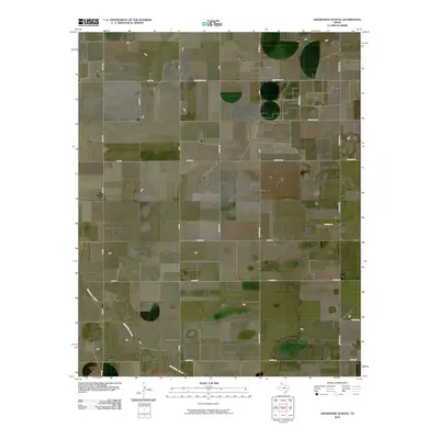
2010 Map of Grandview School
USGS Topo · Published 2010About this map
McClellan Creek meanders through the southwestern corner of this Gray County landscape, providing a primary hydrological landmark in an area otherwise defined by its rectilinear grid of rural roads. The 2010 geography is characterized by large-scale agricultural or ranching plots, partitioned by family-named thoroughfares such as Baggerman Rd, Haiduk Rd, and Keahey Rd. The intersection of Fm 293 and Fm 295 serves as a local navigational hub, while a cluster of development appears along Sheppard Rd near Deep Lake Rd. This survey documents a quiet Texas Panhandle territory where the layout of modern Farm to Market roads, including Fm 2300 N and Farm Rd 2300, reflects the enduring rural structure of the region.
Find a feature on this map
28 named features on this map. Tap any name to fly to it.
Don’t see what you’re looking for? This feature index may not catch every label — zoom into the map to look around manually.
Map Details
Editions of this 2010 Grandview School Map
This is the sole edition of this map. No revisions or reprints were ever made.
Other maps of this area

1954 · Amarillo
USGS Topo · 1:250,000

1958 · Amarillo
USGS Topo · 1:250,000

1960 · Groom
USGS Topo · 1:62,500

1964 · Jericho
USGS Topo · 1:24,000

1965 · White Deer
USGS Topo · 1:24,000

1966 · Grandview School
USGS Topo · 1:24,000

1966 · White Deer SW
USGS Topo · 1:24,000

1966 · Kingsmill
USGS Topo · 1:24,000

1966 · Bowers City
USGS Topo · 1:24,000
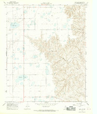
1968 · Deep Lake
USGS Topo · 1:24,000