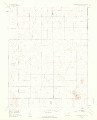
1960 Map of Grandview School SE
USGS Topo · Published 1962About this map
Pueblo County and Crowley County meet along a straight north-south boundary line in this 1960 landscape. The terrain is characterized by a sparse, grid-based layout of section lines and unimproved roads, reflecting the open ranching or agricultural character of the high plains. A prominent natural feature of interest is Big Sand Hole in the southeastern corner, a distinctive depression that suggests the area's geological and hydrological patterns. The absence of dense settlements or town centers on this sheet highlights the isolation of this corner of Colorado, where the most significant infrastructure consists of property fences and the occasional section-line track.
Find a feature on this map
2 named features on this map. Tap any name to fly to it.
Don’t see what you’re looking for? This feature index may not catch every label — zoom into the map to look around manually.
Map Details
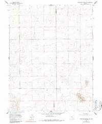
Editions of this 1960 Grandview School SE Map
2 editions found
Other maps of this area

1891 · Catlin
USGS Topo · 1:125,000

1891 · Nepesta
USGS Topo · 1:125,000

1893 · Nepesta
USGS Topo · 1:125,000

1893 · Catlin
USGS Topo · 1:125,000

1904 · Nepesta
USGS Topo · 1:125,000

1954 · Olney Springs
USGS Topo · 1:24,000

1954 · Lamar
USGS Topo · 1:250,000

1954 · Pueblo
USGS Topo · 1:250,000

1957 · Pueblo
USGS Topo · 1:250,000

1958 · Pueblo
USGS Topo · 1:250,000