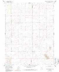
1960 Map of Grandview School SE
USGS Topo · Published 1986About this map
The high plains along the boundary of Pueblo Co and Crowley Co are documented here following a 1960 field check of 1957 aerial photography. This landscape is defined by its subtle topographic shifts and specialized geologic features, most notably the depressions and formations of the Big Sand Hole in the southeastern portion of the sheet. The area is characterized by a sparse settlement pattern and a grid of sections and property lines that reflect the late-century agricultural and ranching layout of eastern Colorado. While largely open land, the map records the specific elevations and drainage patterns essential for understanding the water management and land use of this arid region prior to modern development.
Find a feature on this map
2 named features on this map. Tap any name to fly to it.
Don’t see what you’re looking for? This feature index may not catch every label — zoom into the map to look around manually.
Map Details
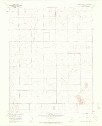
Editions of this 1960 Grandview School SE Map
2 editions found
Other maps of this area

1891 · Catlin
USGS Topo · 1:125,000

1891 · Nepesta
USGS Topo · 1:125,000

1893 · Nepesta
USGS Topo · 1:125,000

1893 · Catlin
USGS Topo · 1:125,000

1904 · Nepesta
USGS Topo · 1:125,000

1954 · Olney Springs
USGS Topo · 1:24,000

1954 · Lamar
USGS Topo · 1:250,000

1954 · Pueblo
USGS Topo · 1:250,000

1957 · Pueblo
USGS Topo · 1:250,000

1958 · Pueblo
USGS Topo · 1:250,000