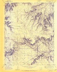
1970 Map of Graneros Flats
USGS Topo · Published 1973About this map
Graneros Flats defines the high-altitude landscape of southern Colorado as it appeared in 1970, straddling the line between Pueblo and Huerfano counties. The map documents a transition in transportation and rural infrastructure, most notably through the Denver and Rio Grande Western Railroad winding through the eastern draws, while an Old Railroad Grade to the west marks an earlier path through the terrain. Evidence of a localized community is centered around the Graneros Sch and the Mustang Sch, providing clear data points for genealogists researching the families who once lived near Turkey Ridge. The presence of the Evergreen Cem and industrial markers like the Claypits further ground this survey in the practical realities of mid-century ranching and resource extraction.
Find a feature on this map
15 named features on this map. Tap any name to fly to it.
Don’t see what you’re looking for? This feature index may not catch every label — zoom into the map to look around manually.
Map Details
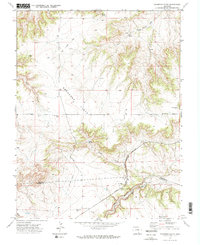
Editions of this 1970 Graneros Flats Map
2 editions found
Other maps of this area

1891 · Walsenburg
USGS Topo · 1:125,000

1891 · Pueblo
USGS Topo · 1:125,000

1894 · Walsenburg
USGS Topo · 1:125,000

1894 · Pueblo
USGS Topo · 1:125,000

1896 · Pueblo
USGS Topo · 1:125,000

1897 · Pueblo
USGS Topo · 1:125,000

1897 · Walsenburg
USGS Topo · 1:125,000

1900 · Walsenburg
USGS Topo · 1:125,000

1954 · Trinidad
USGS Topo · 1:250,000

1954 · Pueblo
USGS Topo · 1:250,000