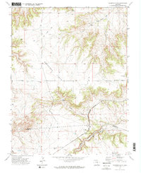
1970 Map of Graneros Flats
USGS Topo · Published 1973About this map
Graneros Flats dominates the central landscape of this southern Colorado survey, defining a transition from higher ridges to the valley floor. The map records a sparse but functional infrastructure of the early 1970s, where rural education and transportation networks intersected along the Pueblo Co Huerfano Co line. Significant landmarks include Graneros Sch and Mustang Sch, providing a clear record of local school districts serving the ranching community.
Find a feature on this map
25 named features on this map. Tap any name to fly to it.
Don’t see what you’re looking for? This feature index may not catch every label — zoom into the map to look around manually.
Map Details
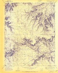
Editions of this 1970 Graneros Flats Map
2 editions found
Other maps of this area

1891 · Walsenburg
USGS Topo · 1:125,000

1891 · Pueblo
USGS Topo · 1:125,000

1894 · Walsenburg
USGS Topo · 1:125,000

1894 · Pueblo
USGS Topo · 1:125,000

1896 · Pueblo
USGS Topo · 1:125,000

1897 · Pueblo
USGS Topo · 1:125,000

1897 · Walsenburg
USGS Topo · 1:125,000

1900 · Walsenburg
USGS Topo · 1:125,000

1954 · Trinidad
USGS Topo · 1:250,000

1954 · Pueblo
USGS Topo · 1:250,000