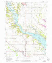
1965 Map of Granger
USGS Topo · Published 1977About this map
The Des Moines River valley underwent significant transformation as this mid-century landscape was adapted for water management, featuring the expansive Saylorville Lake and Big Creek Lake. The map reveals a dense network of local history, from the coal-mining legacy seen in various Mine Dumps to the established agricultural communities at Madrid and Granger. Unique settlement patterns are evident at Granger Homesteads and the small siding of Zook Spur, while the Chicago Milwaukee St Paul and Pacific railroad traverses the terrain. This period documents the valley just as large-scale reservoir projects were reshaping the topography, yet it still preserves the locations of older landmarks like Hopkins Grove Ch and the Chestnut Ford Bridge. The inclusion of smaller locales such as Gibbsville, Royer, and High Bridge provides a detailed look at the rural intersections of Boone, Dallas, and Polk Counties.
Find a feature on this map
57 named features on this map. Tap any name to fly to it.
Don’t see what you’re looking for? This feature index may not catch every label — zoom into the map to look around manually.
Map Details
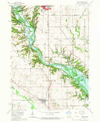
Editions of this 1965 Granger Map
2 editions found
Other maps of this area

1905 · Des Moines
USGS Topo · 1:62,500

1907 · Des Moines
USGS Topo · 1:62,500

1908 · Waukee
USGS Topo · 1:62,500

1911 · Madrid
USGS Topo · 1:62,500

1911 · Slater
USGS Topo · 1:62,500

1913 · Slater
USGS Topo · 1:62,500

1914 · Madrid
USGS Topo · 1:62,500

1954 · Des Moines
USGS Topo · 1:250,000

1956 · Des Moines
USGS Topo · 1:250,000

1956 · Des Moines NW
USGS Topo · 1:24,000