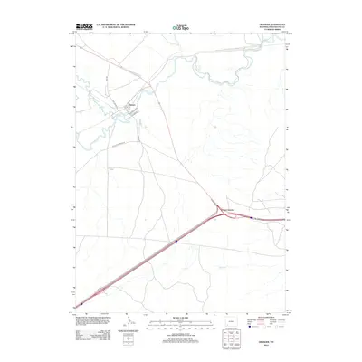
2012 Map of Granger
USGS Topo · Published 2012About this map
Granger serves as the focal point of this Sweetwater County landscape, positioned at the strategic confluence where the Hams Fork meets the meandering Blacks Fork. The town's small residential grid, including streets like 1st St and Evans Dr, is surrounded by a vast high-desert expanse defined by hydrological features and transportation corridors. The map highlights the transition from traditional routes like Old US Hwy 30 and Old Little America Rd to the modern highway infrastructure found at Granger Junction. To the south, the drainage of Spider Cr marks the open terrain, while industrial or service access is suggested by the presence of Moxa Rd. This 2012 survey illustrates the persistent importance of this river junction for both local settlement and regional transit.
Find a feature on this map
13 named features on this map. Tap any name to fly to it.
Don’t see what you’re looking for? This feature index may not catch every label — zoom into the map to look around manually.
Map Details
Editions of this 2012 Granger Map
This is the sole edition of this map. No revisions or reprints were ever made.
Other maps of this area

1954 · Ogden
USGS Topo · 1:250,000

1954 · Rock Springs
USGS Topo · 1:250,000

1958 · Ogden
USGS Topo · 1:250,000

1958 · Rock Springs
USGS Topo · 1:250,000

1960 · Ogden
USGS Topo · 1:250,000

1961 · Blue Point
USGS Topo · 1:24,000

1961 · Little America
USGS Topo · 1:24,000

1961 · Sevenmile Gulch
USGS Topo · 1:24,000

1961 · Granger
USGS Topo · 1:24,000

1962 · Rock Springs
USGS Topo · 1:250,000