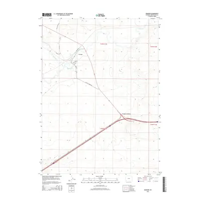
2015 Map of Granger
USGS Topo · Published 2015About this map
Granger serves as the focal point of this southwestern Wyoming landscape, situated at the confluence of the Hams Fork and Blacks Fork rivers. This high-desert terrain is defined by its deep historical layers of transportation, most notably the route of the Brigham Young 1847 trail which cuts across the northern township. The convergence of modern infrastructure and pioneer history is evident as Railroad Ave and Granger Rd intersect near the riverbanks. To the south, Granger Junction marks a major highway bifurcation point where the modern road network follows the drainage of Spider Cr. The map highlights a complex web of rural ranch roads, such as Blumel Ranch Rd and the Old Little America Rd, which trace the arid divides between the river valleys.
Find a feature on this map
20 named features on this map. Tap any name to fly to it.
Don’t see what you’re looking for? This feature index may not catch every label — zoom into the map to look around manually.
Map Details
Editions of this 2015 Granger Map
This is the sole edition of this map. No revisions or reprints were ever made.
Other maps of this area
1954 · Ogden
USGS Topo · 1:250,000
1954 · Rock Springs
USGS Topo · 1:250,000
1958 · Ogden
USGS Topo · 1:250,000
1958 · Rock Springs
USGS Topo · 1:250,000
1960 · Ogden
USGS Topo · 1:250,000
1961 · Blue Point
USGS Topo · 1:24,000
1961 · Little America
USGS Topo · 1:24,000
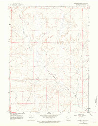
1961 · Sevenmile Gulch
USGS Topo · 1:24,000
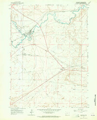
1961 · Granger
USGS Topo · 1:24,000
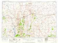
1962 · Rock Springs
USGS Topo · 1:250,000