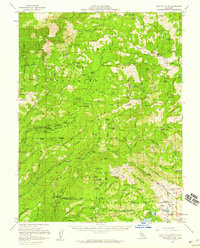
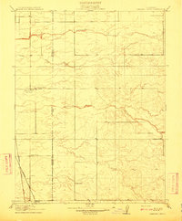
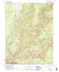
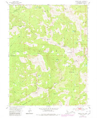
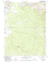
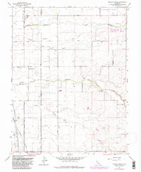
1953 Map of Granite Chief
USGS Topo · Published 1959This historical map portrays the area of Granite Chief in 1953, primarily covering Placer County as well as portions of El Dorado County. Featuring a scale of 1:62500, this map provides a highly detailed snapshot of the terrain, roads, buildings, counties, and historical landmarks in the Granite Chief region at the time. Published in 1959, it is one of 5 known editions of this map due to revisions or reprints.
Find a feature on this map
130 named features on this map. Tap any name to fly to it.
Don’t see what you’re looking for? This feature index may not catch every label — zoom into the map to look around manually.
Map Details
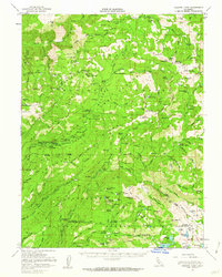
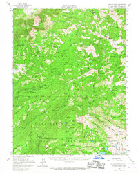
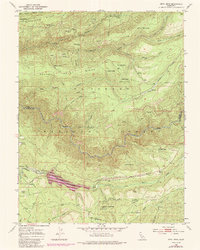
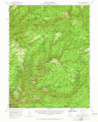
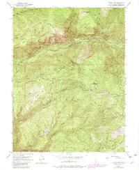
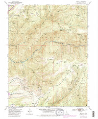
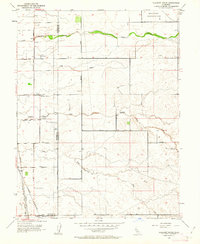
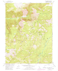
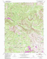
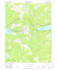
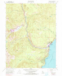
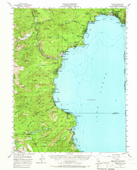
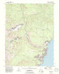
Editions of this 1953 Granite Chief Map
5 editions found
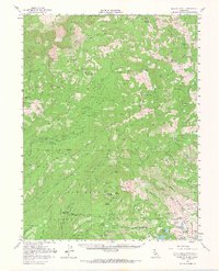
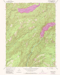
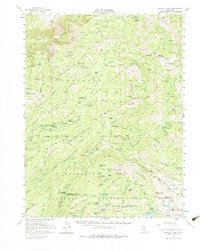
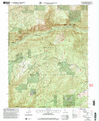
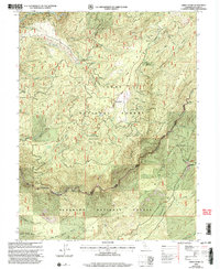
Historical Maps of Gilberts Through Time
31 maps found
1910 Pleasant Grove
Placer County, CA

1942 Markham Ravine
Placer County, CA
1950 Devil Peak
Placer County, CA
1952 Duncan Peak
Placer County, CA
1952 Duncan Peak
Placer County, CA

1952 Greek Store
Placer County, CA
1952 Michigan Bluff
Placer County, CA
1952 Westville
Placer County, CA
1953 Bunker Hill
Placer County, CA
1953 Granite Chief
Placer County, CA
1953 Granite Chief
Placer County, CA
1953 Pleasant Grove
Placer County, CA
1953 Royal Gorge
Placer County, CA
1953 Wentworth Springs
Placer County, CA

1954 Gold Hill
Placer County, CA

1955 Homewood
Placer County, CA
1955 Martis Peak
Placer County, CA
1955 Norden
Placer County, CA
1955 Tahoe City
Placer County, CA
1955 Tahoe
Placer County, CA
1967 Pleasant Grove
Placer County, CA

1992 Homewood
Placer County, CA

1992 Martis Peak
Placer County, CA
1992 Tahoe City
Placer County, CA
2000 Duncan Peak
Placer County, CA

2000 Granite Chief
Placer County, CA
2000 Greek Store
Placer County, CA

2000 Michigan Bluff
Placer County, CA

2000 Norden
Placer County, CA

2000 Royal Gorge
Placer County, CA

2000 Westville
Placer County, CA