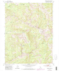
1953 Map of Granite Chief
USGS Topo · Published 1980About this map
Soda Springs and the upper reaches of the North Fork American River define this high Sierra landscape within the Tahoe National Forest. The map provides a detailed view of the high-altitude topography where the State Game Refuge covers a significant portion of the western slope. Notable historic landmarks like the Watson Monument Emigrant Pass Marker and the Johnson Monument reflect the area's importance as a passage for early pioneers. Significant vertical relief is mapped between peaks such as Tinker Knob, Granite Chief, and Needle Peak, with the deep basin of French Meadows appearing in the west. A network of alpine water bodies, including Mountain Meadow Lake, Mildred Lakes, and Needle Lake, feeds into the headwaters of Chief Creek and Whisky Creek. Remoteness is indicated by seasonal locations like Whisky Creek Camp and the Talbot Campground at the edge of the wilderness.
Find a feature on this map
45 named features on this map. Tap any name to fly to it.
Don’t see what you’re looking for? This feature index may not catch every label — zoom into the map to look around manually.
Map Details
Editions of this 1953 Granite Chief Map
5 editions found
Other maps of this area

1891 · Truckee
USGS Topo · 1:125,000

1893 · Truckee
USGS Topo · 1:125,000

1895 · Truckee
USGS Topo · 1:125,000

1932 · Truckee
USGS Topo · 1:96,000

1940 · Truckee
USGS Topo · 1:125,000

1953 · Granite Chief
USGS Topo · 1:24,000
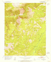
1953 · Royal Gorge
USGS Topo · 1:24,000
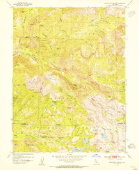
1953 · Wentworth Springs
USGS Topo · 1:24,000
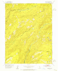
1953 · Bunker Hill
USGS Topo · 1:24,000

1953 · Granite Chief
USGS Topo · 1:62,500