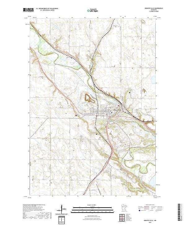
2022 Map of Granite Falls
USGS Topo · Published 2022About this map
The Minnesota River carves a deep path through the landscape of Granite Falls, serving as a natural boundary between Chippewa and Yellow Medicine counties. This modern survey illustrates a community deeply integrated with its riverine environment, where local life centers around the Yellow Medicine County Judicial Center and the Minnesota West Community and Technical College. The terrain is defined by the incision of water, from the winding path of Palmer Creek to the artificial precision of County Ditch Number 70.
Find a feature on this map
67 named features on this map. Tap any name to fly to it.
Don’t see what you’re looking for? This feature index may not catch every label — zoom into the map to look around manually.
Map Details
Editions of this 2022 Granite Falls Map
This is the sole edition of this map. No revisions or reprints were ever made.
Other maps of this area

1953 · New Ulm
USGS Topo · 1:250,000

1957 · New Ulm
USGS Topo · 1:250,000

1958 · New Ulm
USGS Topo · 1:250,000

1962 · Wood Lake NW
USGS Topo · 1:24,000

1962 · Wood Lake
USGS Topo · 1:24,000

1965 · Montevideo
USGS Topo · 1:24,000

1965 · Lone Tree Lake
USGS Topo · 1:24,000

1965 · Asbury
USGS Topo · 1:24,000

1965 · Hazel Run
USGS Topo · 1:24,000
1965 · Maynard
USGS Topo · 1:24,000